Mapping for Change
By Rafael Cruz, 7th grade teacher, Los Angeles Unified School District (LAUSD)
Overview
Grade levels:
7th
Types of activities:
Independent, small group, hands-on, digital, online
Instructional Procedures:
Opening: Students watch a video from Tanya Ortiz, Local District 7 Superintendent about how she uses map to address issues that affect LAUSD like inequities in Wi-Fi and Covid rates.
Students write a paragraph about health issues that they have studied that affects the community and then do a Round Robin Kagan strategy to share with their groups.
Teacher-Led Discussion: Teacher shows video of how to make a map using ArcGIS and how to navigate the website. Teacher and students create a practice map together. Students then pair share how they created that map with their elbow partner. Each student has 1 minute to share.
Teacher than proceeds with similar steps for how to add layers and map legends.
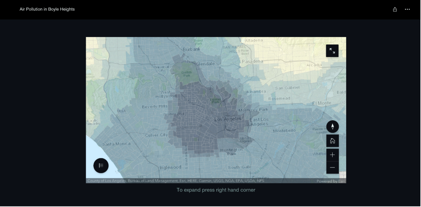
Students then work in collaborative teams to research a map that tells a health story of their community. Students then proceed to use the necessary layers and map legend to maximize the storytelling of their map.
Students then work independently on writing a paragraph elaborating on the story their ArcGIS map should be telling. Students use information learned in their Health and History class to leverage prior knowledge with new relevant information.
Students then work collaboratively in their Linked Learning teams to use school’s Pathway Outcomes (effective collaborator, effective communicator, critical thinker, and problem solver) to use written response to complete a Story Map on ArcGIS that use multiple maps, map legends, and a written explanation to clearly communicate the health issue, cause of that health issue, and possible solutions.
Closing: This is at least a week-long activity where students research causes and solutions related to the topic they selected. Students also include photos or video from their neighborhoods to enhance the message in their Story Map. Once the Story Map is finished students present their Story Map to Industry partners, staff, and community members. Each day the closing is to write a short learning log and students pair-sharing their responses.
Expected Impact
Standards
- Next Generation Science Standards
- Performance Expectations: MS-PS2-1; MS-PS2-2; MS-PS3-1
- Science and Engineering Practices: Practice 1; 2; 3; 4; 5; 6; 7; 8
- Disciplinary Core Ideas: PS2.A; PS3.A
- Crosscutting Concepts: Cause and Effect; Stability and Change; Scale, Proportion, and Quantity
- Common Core State Standards for English Language Arts
- Reading Informational Text: CCSS.ELA-LITERACY.CCRA.R.1; R7; CCSS.ELA-LITERACY.RST.6-8.1; 6-8.2; 6-8.3; 6-8.4; 6-8.7; 6-8.9; 6-8.10
- Writing: CCSS.ELA-LITERACY.CCRA.W.1; W2; CCSS.ELA-LITERACY.WHST 6-8.1; 6-8.1A; 6-8.1.B; 6-8.1C; 6-8.1.D; 6-8.2; 6-8.2.B; 6-8.2.D; 6-8.4; 6-8.5; 6-8.9; 6-8.10
- Speaking and Listening: CCSS.ELA-LITERACY.CCRA.SL.1; 2; 3; 4; 6
Student Learning Outcomes (SLO’s)
Students will be able to more precisely define constraints of designs to take into account relevant Scientific principles that can potentially impact people and the environment using ArcGIS maps.
Students will be able to explain how this mapping affects policies our city leaders implement.
Adopt & Adapt
Additional Notes or links to resources:
My California GIS Mapping Showcase and Competition: https://calgeography.sdsu.edu/california-gis-mapping-showcase-competition/
HMS STEMM Pathway YouTube Channel: https://www.youtube.com/channel/UCYKStN96Y8yWOdgOuOM5q2A